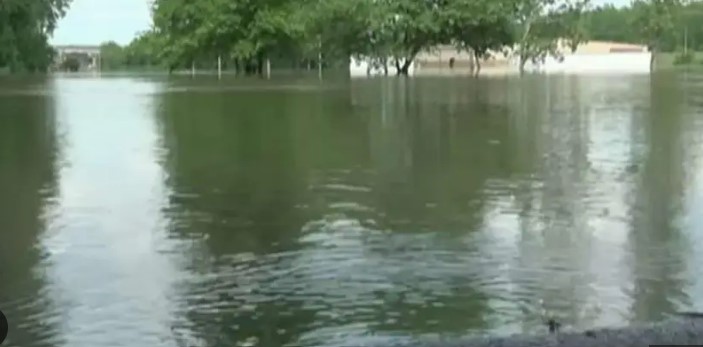
On Monday, as the Mississippi River crests in the region, it will continue to put flood defenses in southeast Iowa and northwest Illinois to the test.
Although many locations will likely experience peak water levels among the top 10 ever, the National Weather Service predicted that river levels will generally remain well below historical highs. The majority of the towns along the river should be better able to withstand the floodwaters as a result, though officials will closely monitor their sandbag and floodwall barriers over the next few days.
Tom Philip, a meteorologist with the National Weather Service, said, “Fortunately, we’ve had relatively dry weather over the last week or so and aren’t expecting much in the way of rainfall either. “So, for the most part, it’s going as predicted.”
The river peaked in the Dubuque area Saturday at 23.03 feet (7 meters)— well below the 25.7 feet (7.8 meters) record — but officials there were grateful to have the floodwall the city built 50 years ago in place.
Without that floodwall, the city would be facing significant problems, said Deron Muehring, a civil engineer for the city of Dubuque.
“The floodwaters would be up to 6 feet deep in the Port of Dubuque and more than 7 feet deep in the south port,” Muehring told the Dubuque Telegraph-Herald.